Sadenسادن
A multi agent system that keeps Red Sea mangroves alive. Drones and sensors in, health verdicts and field orders out.
The problem
Mangrove die-off is detected too late. The stands are large, surveying them on foot is slow and expensive, and by the time damage shows up in a field report the seedlings are already gone. The people responsible for these zones needed to know which patch was in trouble while it could still be saved.
Approach
- Drones fly scheduled missions and return aerial imagery with GPS. A vision model extracts four features per zone: algae coverage, average seedling height, planting spacing compliance, and survival rate.
- Three more signals arrive from coastal sensors and tide APIs, keyed to the same zone: heat, salinity, and a wave index.
- A master agent orchestrates specialists over that fused state: image analysis, drone routing, scoring, and recommendation. It produces a health score, a severity level, and a concrete action, not a dashboard for someone else to interpret.
- An operator only ever approves a flight. Everything downstream is automatic, and the end user never types a number.
How it fits together
On the day

Key decisions
- 01
A 30% survival threshold switches the entire analysis mode
Below 30% survival, growth analytics are meaningless. Nobody cares about average height in a zone that is dying. The system flips to survival analysis and changes both what it measures and what it recommends. One rule, but it decides which questions the rest of the pipeline is even asking.
- 02
GPS maps results to zones; it is never a model input
Feeding coordinates into the vision model would let it learn location as a shortcut for health, which is exactly the correlation that breaks the moment you fly a new site. GPS stays in the routing layer.
- 03
The operator approves flights, not data
Every manual entry point is a place the record drifts from reality. Removing image upload and sensor entry from the UI was a product decision that made the system trustworthy rather than merely usable.
Results
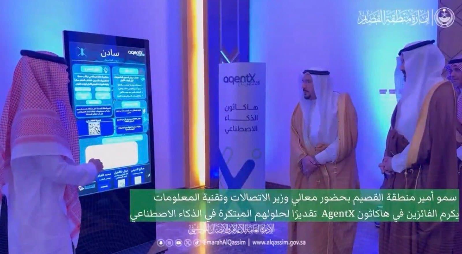
- Won 1st place nationally at the AgentX AI Hackathon, judged in the presence of the Minister of Communications and Information Technology and the Emir of the Qassim Region.
- Full mission lifecycle running end to end: approve, fly, ingest, analyze, score, alert.
- Bilingual Arabic and English operator console with a live GIS map, per-zone health timelines, and a field visit queue.
Wifaq
Want the detail behind any of this? Get in touch.